


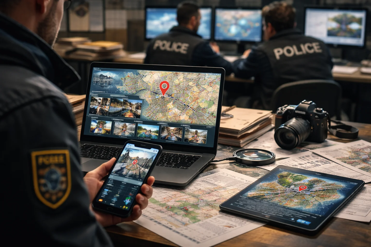
Investigators are starting to rely on visual analysis software to speed up digital cases. A newly revealed purchase shows how AI photo geolocation technology is entering routine police work. The system analyzes a single image and predicts where it was captured using environmental details rather than metadata.
Police Purchase Image-Location System
Internal procurement records show that major US law enforcement agencies obtained access to a platform known as GeoSpy. Authorities bought licenses, search credits, and a localized model tailored to specific regions.
The software is intended to assist ongoing criminal investigations. Officers can upload a photo and receive a list of likely locations generated by the system. Early testing reportedly showed useful results, but agencies treat the output as an investigative lead instead of final proof.
How the Technology Identifies Locations
The system evaluates contextual elements visible in the image. Buildings, terrain layout, vegetation, and road patterns help narrow down geographic areas.
Unlike traditional tracking, the tool does not depend on embedded metadata. Instead, it compares visual patterns against a large dataset of mapped environments. A localized version can significantly increase precision because it focuses on a smaller geographic area.
Investigators still verify matches manually before taking action. The technology speeds up research but does not replace confirmation work.
Accuracy Limits and Privacy Concerns
AI photo geolocation introduces reliability and privacy questions. Automated identification systems have historically produced incorrect conclusions when used without human review.
Because of this risk, agencies avoid treating the result as standalone evidence. The software serves as a starting point that guides further investigation. Officers must confirm locations using conventional methods before proceeding.
Officials also restrict how personal data gathered during analysis is shared. The goal is to prevent misuse while maintaining investigative usefulness.
Changing Investigation Methods
The adoption of this technology shows a broader shift in investigative practice. Instead of relying only on witnesses or manual research, officers can now analyze visual clues within seconds.
This dramatically shortens the time required to identify potential crime scenes. At the same time, investigators remain cautious about overreliance on automated conclusions.
Conclusion
AI photo geolocation is becoming part of everyday investigative workflows. The technology helps narrow search areas quickly but cannot stand alone as evidence. Police still depend on traditional verification to confirm results, showing that automation currently supports human judgment rather than replacing it.
0 responses to “AI photo geolocation tool adopted by police investigators”